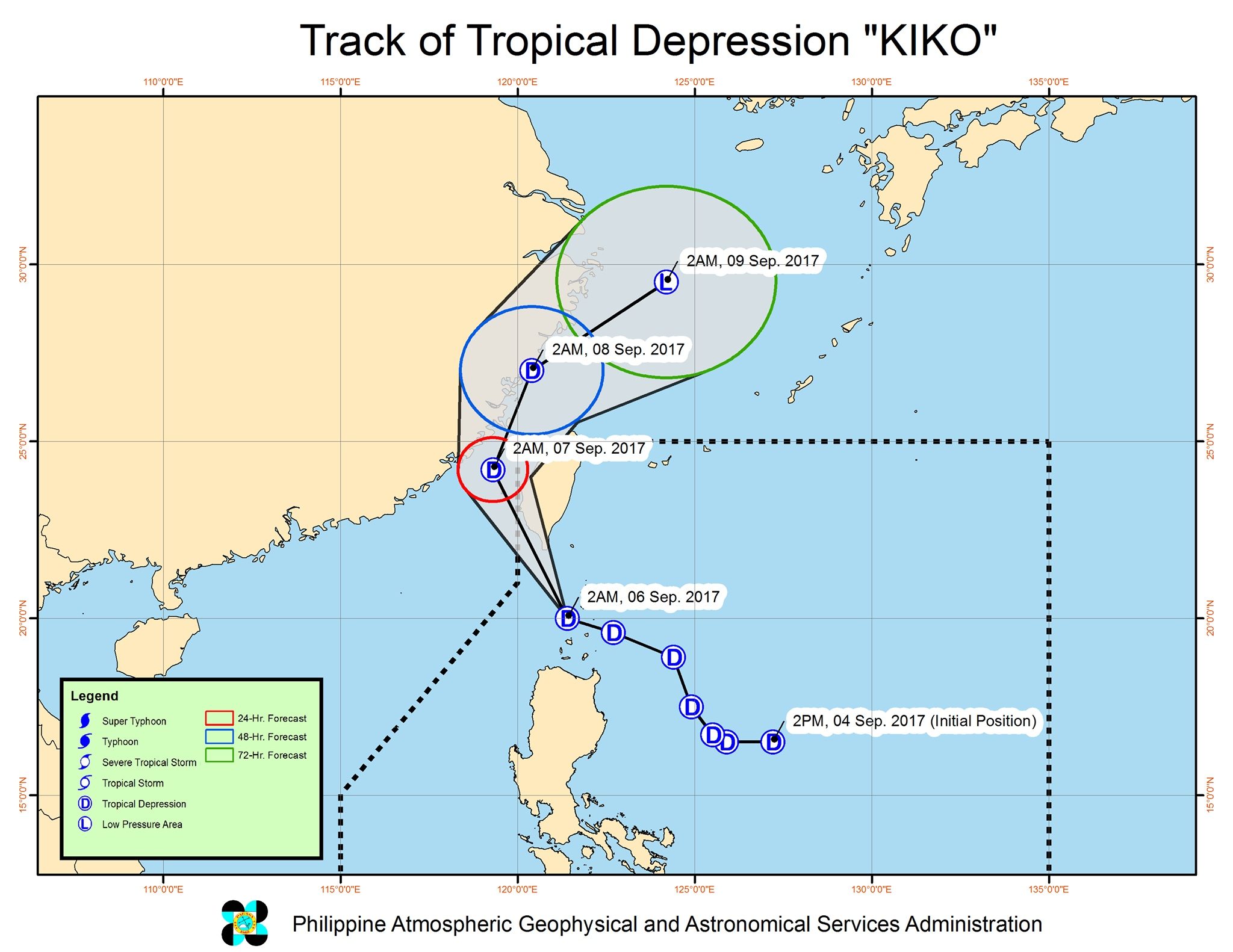
Kiko’s Steady Course: Tropical Storm Kiko has emerged in the Eastern Pacific, but according to the U.S. National Hurricane Center (NHC) in Miami, it poses no immediate threat to land. The storm is projected to intensify into a hurricane by Tuesday, September 2, 2025, while maintaining a westward trajectory over open ocean.

Tropical Storm Kiko: Current Status
As of Monday, September 1, 2025, Tropical Storm Kiko’s maximum sustained winds have increased to 45 mph (72 kph), up from the initial 40 mph (65 kph) recorded on Sunday, August 31, 2025, when the storm first formed. The storm is located approximately 1,045 to 1,090 miles (1,680 to 1,760 kilometers) west-southwest of the southern tip of Baja California, Mexico, according to reports from the Associated Press. Its current movement is westward at 7 to 9 mph (15 kph). The NHC is actively monitoring the storm’s progress and providing regular updates.
Development and Forecast
The NHC forecasts that Tropical Storm Kiko will reach hurricane status within 36 hours of their September 1 update, meaning by Tuesday, September 2, 2025. This intensification is attributed to favorable environmental conditions in the Eastern Pacific. These conditions include warm sea surface temperatures, moist mid-level air, and low vertical wind shear, all of which contribute to the storm’s strengthening, according to Zoom Earth analysis.
Location and Movement
Currently situated in the Eastern Pacific, Kiko’s westward movement is being guided by a mid-level subtropical ridge located to the north. This steering mechanism is expected to keep the storm on its current path, away from any landmasses. The storm’s relatively compact size further reduces immediate concerns for coastal regions, as reported by Cyclocane.
Factors Influencing Kiko’s Formation
Tropical Storm Kiko originated from a new tropical wave in the Eastern Pacific. Several key environmental factors are contributing to its development and projected intensification.
Favorable Environmental Conditions
The warm sea surface temperatures in the region provide the necessary energy for the storm to strengthen. Additionally, the presence of moist mid-level air ensures a continuous supply of moisture, fueling its growth. Low vertical wind shear, which refers to the change in wind speed and direction with height, allows the storm’s structure to remain intact and organized. These conditions are ideal for tropical cyclone development, as noted by the NHC’s meteorological analysis.
Steering Influence
A mid-level subtropical ridge to the north of Kiko is acting as a steering mechanism, guiding the storm westward. This ridge is a high-pressure system in the upper atmosphere that influences the movement of weather systems. The interaction between Kiko and this ridge is crucial in determining the storm’s trajectory, keeping it over open waters.
Impact Assessment: No Immediate Threat
Despite the forecast for Kiko to become a hurricane, the current assessment indicates no immediate threat to land. The storm’s distance from populated areas and its projected path over open ocean minimize the potential for direct impact. However, continuous monitoring by the NHC is essential to track any changes in the storm’s behavior.
Coastal Watches and Warnings
As of the latest update, the NHC has not issued any coastal watches or warnings related to Tropical Storm Kiko. This lack of warnings reflects the storm’s current trajectory and distance from land. Coastal watches and warnings are issued when a tropical cyclone poses a potential threat to coastal areas, prompting residents to take necessary precautions.
Continued Monitoring
The NHC will continue to monitor Tropical Storm Kiko’s progression, providing regular updates and forecasts. These updates will include information on the storm’s intensity, location, and projected path. It is crucial for those in the Eastern Pacific region to stay informed and follow the NHC’s guidance.
Conclusion
Tropical Storm Kiko, while expected to intensify into a hurricane, currently poses no immediate threat to land due to its westward trajectory over the open Eastern Pacific Ocean. The NHC is closely monitoring the storm, and its development serves as a reminder of the dynamic nature of tropical weather systems. With favorable environmental conditions fueling its growth, Kiko’s progress will continue to be watched, ensuring timely information for any potentially affected areas.

